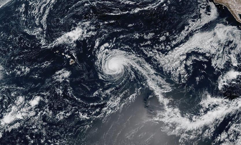
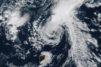
This Satellite image provided by ��ɫֱ�� Oceanic and Atmospheric Administration (NOAA) shows Hurricane Kiko on Sunday, Sept. 7, 2025 near the Hawaiian Islands. (NOAA via AP)
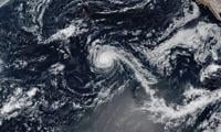
This GOES-West GeoColor satellite image taken Tuesday, Sept. 9, 2025, at 5 p.m. EDT and provided by NOAA, shows tropical storm Kiko churning north of Hawaii. (NOAA via AP)
This Satellite image provided by ��ɫֱ�� Oceanic and Atmospheric Administration (NOAA) shows Hurricane Kiko on Sunday, Sept. 7, 2025 near the Hawaiian Islands. (NOAA via AP)
RV
This GOES-West GeoColor satellite image taken Tuesday, Sept. 9, 2025, at 5 p.m. EDT and provided by NOAA, shows tropical storm Kiko churning north of Hawaii. (NOAA via AP)
HONOLULU (AP) — Tropical Storm Kiko was creating high surf and rip currents for parts of Hawaii even as the system weakened just to the north of the islands, forecasters said.
Kiko would continue to of the Hawaiian Islands on Tuesday and Wednesday, according to the ��ɫֱ�� Hurricane Center. The tropical storm was on the state, but forecasters urged people in Hawaii to monitor the storm’s progress in case circumstances change.
With maximum sustained winds around 40 mph (65 kph), Kiko was centered roughly 220 miles (355 kilometers) north of Hilo, Hawaii, and about 220 miles east-northeast of Honolulu.
The storm was traveling west-northwest at 14 mph (23 kph).
Waves were forecast to peak on Tuesday and Wednesday, the weather service said. Forecasters warned of life-threatening surf and rip currents, but no coastal watches or warnings were in effect.