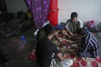


PERTH, Australia (AP) — Miners, cattle ranchers, tourists and Indigenous locals were evacuating from Australia’s remote northwest coast on Wednesday as an intensifying tropical cyclone approached.
Cyclone Ilsa is expected to peak as a Category 4 storm as it crosses the sparsely populated Pilbara coast of Western Australia state somewhere between the iron ore export town of Port Hedland in the west and the tourist town of Broome in the east late Thursday or early Friday, Australia’s Bureau of Meteorology said.
“Any areas ... where that system does cross the coast are going to experience some very destructive winds, winds in excess of 200 kph (124 mph). They’re going to cause a lot of damage,” bureau manager Todd Smith told reporters.
Abnormally high tides, large waves and flooding were possible, and people should avoid coastal and low-lying areas, Smith warned.
Australia’s meteorology bureau describes cyclones as storms with wind gusts exceeding 90 kph (56 mph) around their center and ranks them on a scale of 1 to 5, with Category 5 the most destructive.
A Category 4 cyclone has a maximum mean wind speed of 160 kph to 199 kph (99 mph to 124 mph) with wind gusts of 225 kph to 279 kph (140 mph to 173 mph). A Category 4 typically causes significant roofing loss, structural damage, dangerous airborne debris and widespread power failure.
A Category 5 cyclone has a maximum mean wind speed exceeding 200 kph (124 mph) with gusts exceeding 280 kph (174 mph). They typically cause widespread destruction.
Ilsa could be the most powerful cyclone to cross the Pilbara coast since Cyclone Christine, a Category 4 storm that struck land halfway between Port Hedland and the town of Karratha to the west in December 2013. Christine brought strong winds and heavy rain, destroying roofs and cutting power. Wind gusts of 172 kph (107 mph) were recorded at Roebourne Airport near Karratha.
Category 5 Cyclone Veronica in March 2019 did not cross the Pilbara coast, but damaged infrastructure and disrupted the region’s mining and offshore gas industry.
On Wednesday morning, Ilsa was a Category 2 cyclone moving south over the Indian Ocean from a position 350 km (217 miles) northwest of Broome, the bureau said.
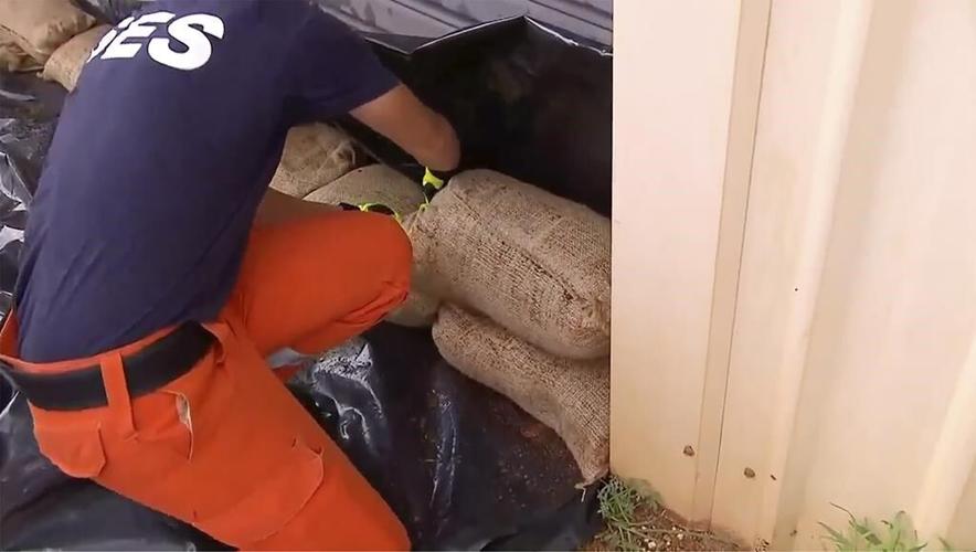
Department of Fire and Emergency Services Commissioner Darren Klemm said remote Indigenous communities, cattle ranches, mines and tourism operators in the cyclone’s path had been contacted.
Workers at the 200,000-hectare (500,000-acre) Wallal Downs Station cattle ranch, Newcrest’s Telfer gold and copper mine and trailer parks were being evacuated, along with non-critical workers at BHP’s iron ore mining, rail and port operations across the region, Klemm said.
People living in structures that were not built to withstand a Category 4 storm had been told to leave the area, he said.
“It’s been 10 years since we’ve had a Category 4 cyclone impact the coast of W.A. and so many people up in the Pilbara and the Kimberley wouldn’t have experienced that sort of impact,” Klemm told reporters, referring to the adjoining Pilbara and Kimberley coastal regions.
Extra emergency workers, essential supplies and aircraft have also been sent to the region, he said.
The North West Coastal Highway, which runs 600 km (373 miles) between Port Hedland and Broome, would likely close in the coming days due to flooding, Klemm said.
The Port Hedland port facilities were being cleared of shipping, including iron ore carriers, on Wednesday, he added.
“People need to make sure they’re well prepared for winds in excess of 200 kph (124 mph), which is going to be significant,” Klemm said.